Animated GeoColor

Western Carolinas GeoColor
A close regional view centered near the Greenville-Spartanburg forecast area, useful for watching clouds evolve across WNC.
Track precipitation around Asheville, then zoom out to watch cloud cover and storm systems move across the southern Appalachians and Southeast.
Interactive radar
Pan and zoom the map, switch between local and regional views, or adjust the radar layer so roads and terrain remain easy to read.
Animated satellite & regional imagery
Cloud texture, clearing lines, and upstream systems add the context radar alone cannot provide. These regional views bring the evolving cloud pattern into focus.
A close regional view centered near the Greenville-Spartanburg forecast area, useful for watching clouds evolve across WNC.
A seven-day satellite perspective for tracking cloud systems across North America and upstream of the southern Appalachians. McIDAS credit: Space Science and Engineering Center, University of Wisconsin–Madison.
A close-up daylight view centered on North Carolina for seeing fog, low clouds, clearing boundaries, and developing cloud fields across the state and nearby mountains.

A high-resolution five-hour daylight view of cloud structure from the Plains to the Atlantic, presented here in a responsive player using Penn State's latest 60-frame sequence.
Quick radar loops
These lightweight NWS loops are handy when you want a quick motion check without moving around the interactive map.
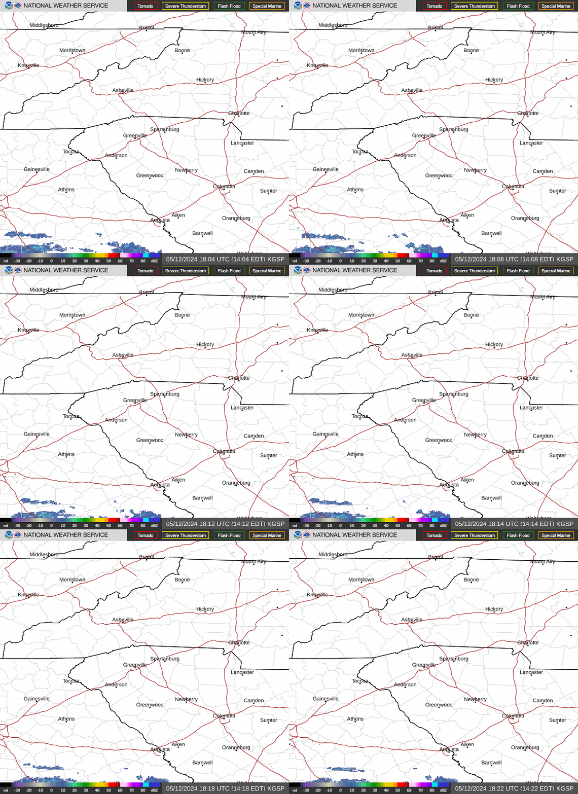
Focused radar reference for Asheville, Upstate South Carolina, and the surrounding mountain region.

A wider motion check for storm systems approaching the Carolinas and southern Appalachians.
For warnings, watches, and official safety guidance, always confirm conditions with the National Weather Service.