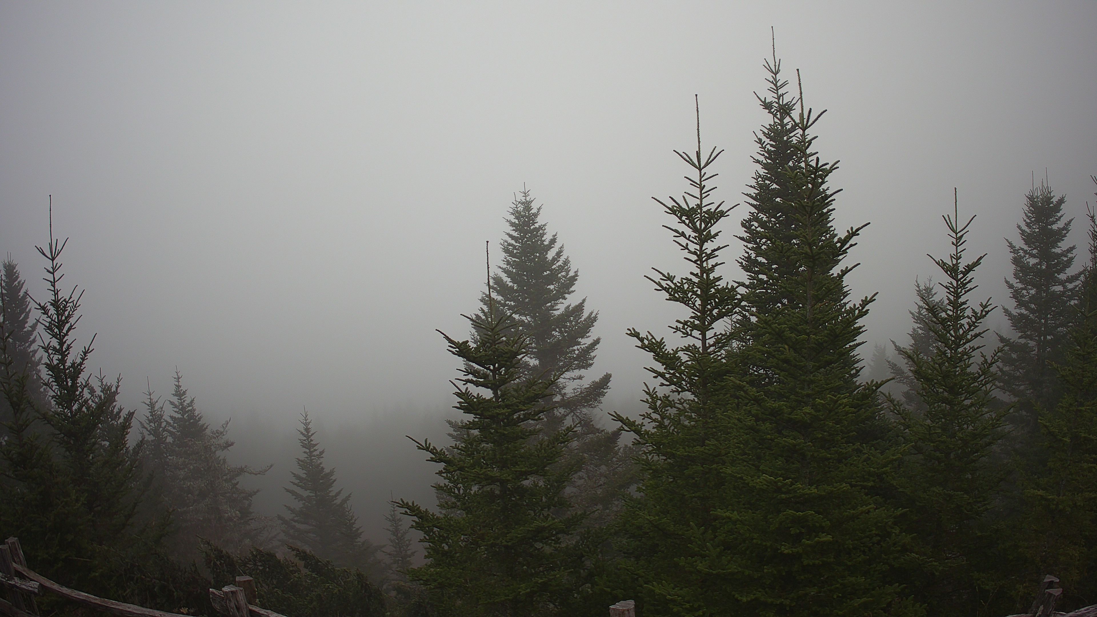
 Mount Mitchell summit
6,684 ft • Northeast view
Mount Mitchell summit camera
Use this for high-peak cloud cover, fog, rime-like visibility issues, and how exposed the summit view looks right now.
The latest elevation-aware hiking read will appear here.
These cameras add a real-time look at cloud deck, visibility, and mountain exposure. Grassland Mountain Observatory and Max Patch North add northwest high-country cross-checks.
Mount Mitchell summit
Use this for high-peak cloud cover, fog, rime-like visibility issues, and how exposed the summit view looks right now.
 Pisgah Inn live cam
This helps compare ridge-level clouds and visibility southwest of town. Camera-only reference; no local observation is available.
Open live imageMadison County sky and weather reference for northwest-of-Asheville cloud deck, visibility, and ridge exposure.
Open current weather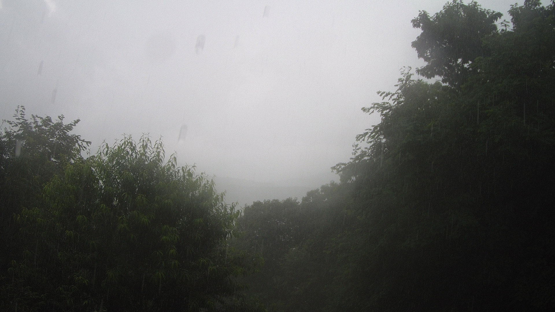 Max Patch North
High-country view near Max Patch for fog, low cloud, ridge visibility, and northwest flow checks.
Open current weatherSky-viewing guidance for Mount Pisgah, Mount Mitchell, Grassland Mountain, and Max Patch — built for overlooks, sunrise, sunset, stars, and undercast hunting.
The Clear Dark Sky source charts are still available while the index loads.
Most nearby trails should feel comfortable.
Changing clouds, damp pockets, and breezy gaps can shift the feel.
Water, basic sun protection, and normal mountain layers.
A quick visual of the reporting sites, from lower Asheville up to Mount Mitchell. This helps explain why downtown Asheville, nearby ridges, and high-peak hikes may not feel the same.